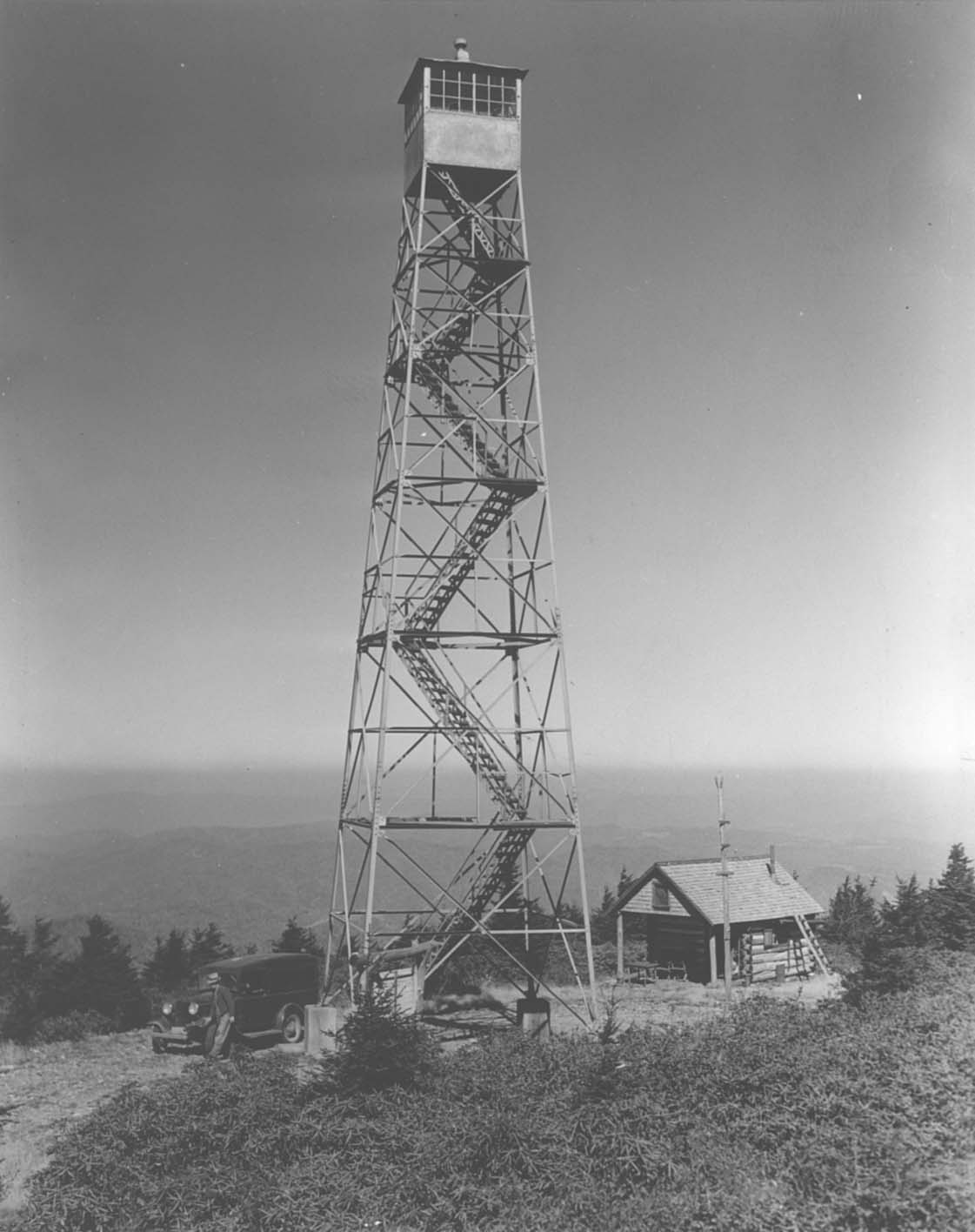
In 2011, a trail linking the town of Unicoi to the Pinnacle Mountain Fire Tower was completed. The trailhead for the 4.5 mile trail is just off of the Unicoi Drive exit of I-26, at the future site of the
Tanasi Heritage and Arts Center. The trail is well designed, leading hikers (and mountain bikers) on a beautiful, twisting path up the mountain. The grade is steady (average 7% grade) as it climbs from the valley to the 3540' summit and the restored (or more accurately, completely rebuilt) 1931 firetower.
The original tower, last in service in the 1980s, was removed and replaced. The stairs, although steep, allow for public access to the 40' high lookout. Some photos taken during the rebuilding are below.
 Click here
 for a helpful trail map.
Read other accounts of the hike from
Hiking Bill and
RATtreks.
Click here to read about the two volunteers who surveyed and mapped the new trail.
 Directions
: From I-26, take exit 32 (Unicoi Road) and turn west (away from town). You'll quickly come to a stop sign, turn right and immediately on your left you will see restrooms and a small parking area. Park here and walk up the gravel road 50 yards and you'll see the well-marked trailhead on your left. After climbing 3 1/2 miles (approx) the trail will intersect with a forest service road. From here, you have a two choices.
(Option 1) If you continue straight, through the gravel parking area, the trail you've been on continues for another 1.5 miles. From the parking area looking west, you'll see three trails, you want the middle one marked "Pinnacle Mountain Trail" (the others are ATV trails). This option allows for a gradual climb of the remaining section of the mountain, and in the winter months offers views out to the west as the trail wraps its way counter-clockwise around the mountain. Total distance ~6 miles one way.
(Option 2) Turn left on the road, go an eighth of a mile to a gated road, follow the gated road right and up to the tower. This approach is much, much steeper, but also much quicker (only 3/4 mile). Be careful if you take this option to stay on the road and avoid the ATV trail that you'll cross over. Total distance ~4.5 miles one way.
 |
| Photo courtesy of Stephen Meigs |
I took the trail (option 1) to the top, and the road (option 2) on the way back. All in all, a wonderful (and exhausting) hike -- with rewarding views! It was approximately
10 miles roundtrip - and took longer than you'd think, so be sure you set out with plenty of daylight (and water, too!).
BTW... It is possible to drive to the tower from the western side of mountain on a meandering, narrow forest service road (#188) off of Dry Creek Road (
See map here). But what's the fun in that?! Anyway, here's how you do it...
Driving Directions...Take I-26 to the Erwin/Jonesborough exit #37. At the end of the ramp,
turn west (away from Erwin) and take State Route 81/107 west for 4
miles, immediately before crossing the Nolichucky River, turn right onto
Arnold Road. Reset your odometer and continue for 2 miles, then turn right onto Dry Creek Road. Proceed 3.8 miles and then turn right onto the gravel forest service road #188. (Last time I drove this the road was in fairly rough shape, I'd strongly recommend a high clearance vehicle for this road. Also, note the gate is most likely closed in the winter). Proceed up the road. At 2.3 miles, you'll come to a fork, stay left. At 3.5 miles you'll come to another fork, stay right. At 4.7 miles, you'll reach a well established parking area. From which you can take either option 1 or 2 (described above) to reach the tower.
From JC: You could also get to this forest service road from Johnson City... From University Parkway, turn onto Cherokee Rd and drive 2.1 miles, then turn left onto Lone Oak Rd (which becomes Dry Creek Rd) and drive 5.3 miles to FS Road 188 on your left.)


 The road to the top is narrow and difficult. But worth it. Not having time (or more accurately, energy) to complete the entire 9 to 10 mile Pinnacle Trail (round-trip), I drove to the parking area near the top. The Forest Service road starts out wide and gradual and in pretty good shape, but it gets narrower, steeper and increasingly pot-hole ladened. The good news was that from the parking area, it's a much shorter hike -- 3/4 of a mile walking up the rest of the road from the gate (steep!), or 1.5 miles via the upper section of the Pinnacle Mountain Trail (gradual). We took the trail up and the road coming back down. For a full discussion (with directions) of the Pinnacle Mountain Fire Tower and Trail, click here.